Advanced GIS services and Location Intelligence
Our GIS solutions equip you with powerful tools and insights to harness location data tailored to your industry specific use cases, enabling optimized operations, strategic planning and strategic growth.
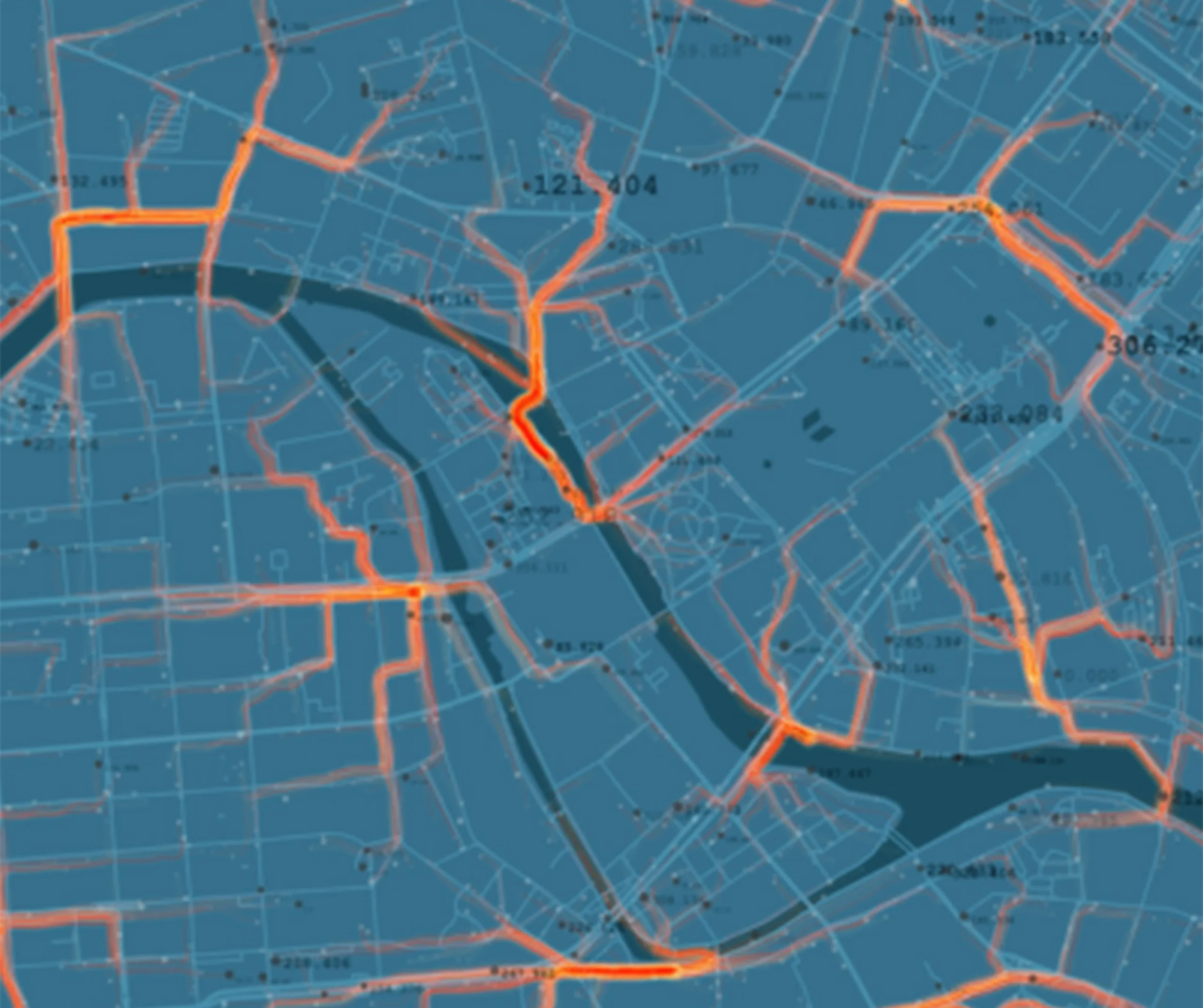
Our services include mapping, collection, storing, processing, interpreting and analyzing geographic and imagery data. Leveraging our extensive domain expertise, we deliver customized GIS solutions that precisely align with your needs. Our GIS experts excel in handling diverse data sources, including coarse imagery, aerial photography, and satellite imagery, to power a wide spectrum of geographical information applications tailored to your industry.
Our advanced GIS toolkit, featuring distributed processing techniques and efficient batch operations, enables us to handle vast volumes of geospatial data quickly and cost-effectively.

Our Core Services
Your Trusted Partnerin Building Smarter, Faster Telecom Networks
At PalniES, we don’t just deliver services — we build enduring partnerships. From the first survey to final splice, we bring reliability, innovation, and accountability. Our teams work as an extension of yours — committed to your success.

Who We Serve
Become a Client
Partner with us today to change how tomorrow looks. You’re exactly what’s needed to help us make it happen in your community.
Design your Career
Ready to Power Your Next Network Transformation?
Whether you’re deploying fiber, managing assets, or streamlining operations, our experts are ready to partner with you.

