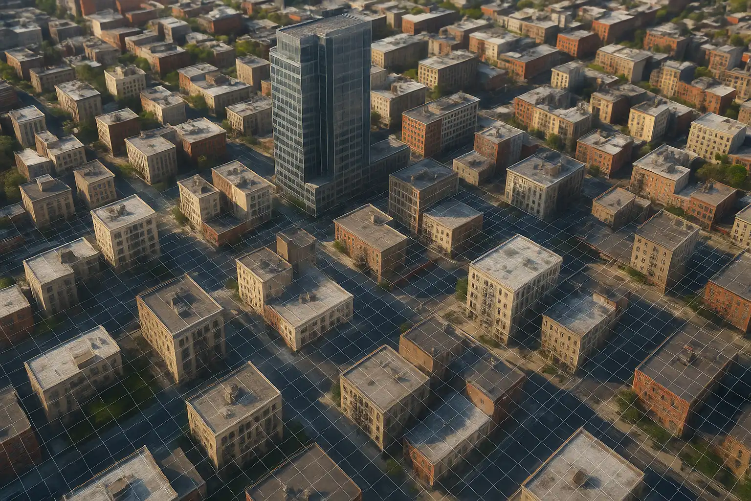
Digital Photogrammetry
By integrating advanced processing techniques and geospatial analytics, we provide actionable insights for land surveying, construction, utilities, and environmental studies. Our team ensures accuracy and consistency across every project, turning complex imagery into meaningful, easy-to-use spatial information.

Our Capabilities Include

Digital Terrain & Surface Models (DTM/DSM)
Generate accurate ground profiles for slope analysis, flood modelling, and construction planning.

Planimetry Feature Compilation

Topographic Mapping

3D Modelling & Digital Twin
Mobile LiDAR for rapid, efficient corridor mapping and asset inventory

Contour Generation and Processing
AI-enhanced feature extraction for accelerated data processing
Why Choose Us for Digital Photogrammetry

Domain Expertise
Experienced in delivering photogrammetry solutions across telecom, energy, and infrastructure sectors.

High Precision
Centimeter-level accuracy using calibrated drone imagery and control points.

End-to-End Service
We handle everything—from data capture to 3D modeling—ensuring clean, reliable outputs.

Modern Tech Stack
We use cutting-edge software and AI-enhanced processing for fast, accurate results.
Related Geospatial Services

LiDAR

Ortho Photo

Annotation & Labelling

